Services
Aerial Survey (UAV, LiDAR, and Satellite Imagery)
Aerial Survey (UAV, LiDAR, and Satellite Imagery) Elucidation
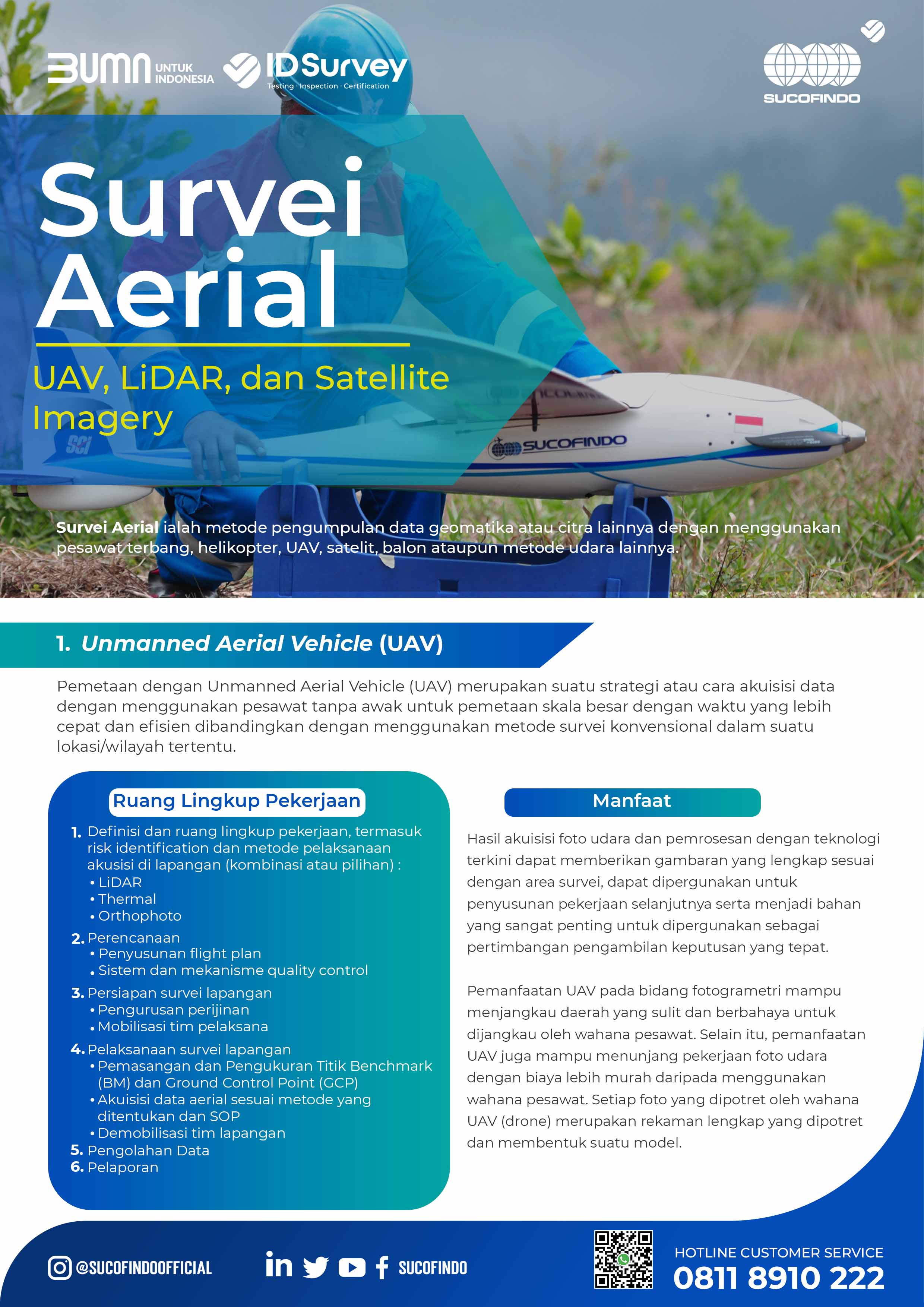
Aerial survey is a method of collecting geomatic data or other imagery using airplanes, helicopters, UAVs, satellites, balloons or other aerial methods.
UAV (Unmanned Aerial Vehicle) uses the unmanned aircraft method, while LiDAR (Light Distance and Ranging) uses the principle method of reflecting laser light to measure the distance of objects on the earth’s surface.
Then there is also satellite imagery which records and photographs objects from sensors installed on satellites in space.
Animal Handling Feasibility and Traceability Audit Service Scope
UAV Survey
SUCOFINDO UAV Survey has several scopes which include:
- Define the scope of work, including carrying out risk identification and methods of implementing acquisitions in the field (combination or choice):
- LiDAR
- Thermal
- Orthophoto
- Planning
- Preparation of flight plans
- Quality control systems and mechanisms
- Field Survey Preparation
- Licensing management
- Mobilization of the implementation team
- Carrying Out Field Surveys
- Installation and Measurement of Benchmark Points (BM) and Ground Control Points (GCP)
- Acquisition of aerial data according to specified methods and SOP
- Demobilization of field teams
- Performing Data Processing
- Making Reports
LiDAR Survey
The scope of SUCOFINDO’s LiDAR survey services includes:
- Define the scope of work, including risk identification
- Planning
- Preparation of flight plans
- Quality control systems and mechanisms
- Field Survey Preparation
- Licensing management
- Mobilization of the implementation team
- Carrying out field surveys
- Installation and Measurement of Benchmark Points (BM) and Ground Control Points (GCP)
- Acquisition of aerial data according to specified methods and SOP
- Demobilization of field teams
- Data processing
- Reporting
Satellite Imagery Survey
In carrying out its work, SUCOFINDO’s satellite imagery survey services have a scope that includes:
- Defining the scope of work, including risk identification
- Planning (including quality control system)
- Selection and ordering of satellite images to distributors
- Ground Check Survey (if required)
- Measurement of coordinate points
- Hue sampling and land cover
- Data processing
- Geometric Correction
- Radiometric Correction
- Digitization (to vector)
- Reporting


