Regional topography is a term related to an area’s land contour or slope. The most common types of topography found are mountains, plains, and hills.
In a broader sense, topography also touches on the realm of vegetation and human influence on the environment and local culture.
What is Area Topography?
Topography studies the shape of the Earth’s surface and other objects, such as planets, moons, or asteroids. For an even wider area, topography includes vegetation, human influences on the environment, andand local culture’s influence.
In terms of terms, topography comes from the ancient Greeks to the ancient Romans, which has the detailed meaning of an area. The origin of the word topography is topos, which means place, and graphia, which means writing.
The aim of this topographic study itself has many objectives, ranging from military planning, geological exploration, civil construction, public works, and reclamation.
Topographic Measurement Techniques
The following are several topographic measurement techniques that topographical experts use most often.
1. Live Survey
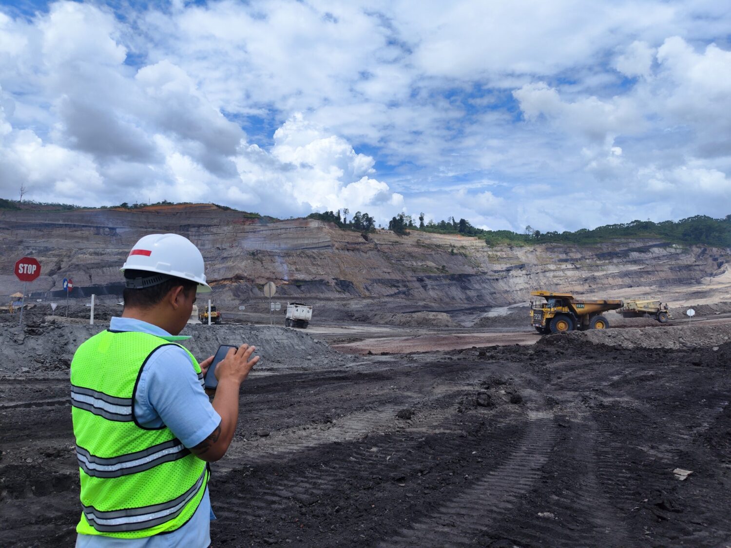
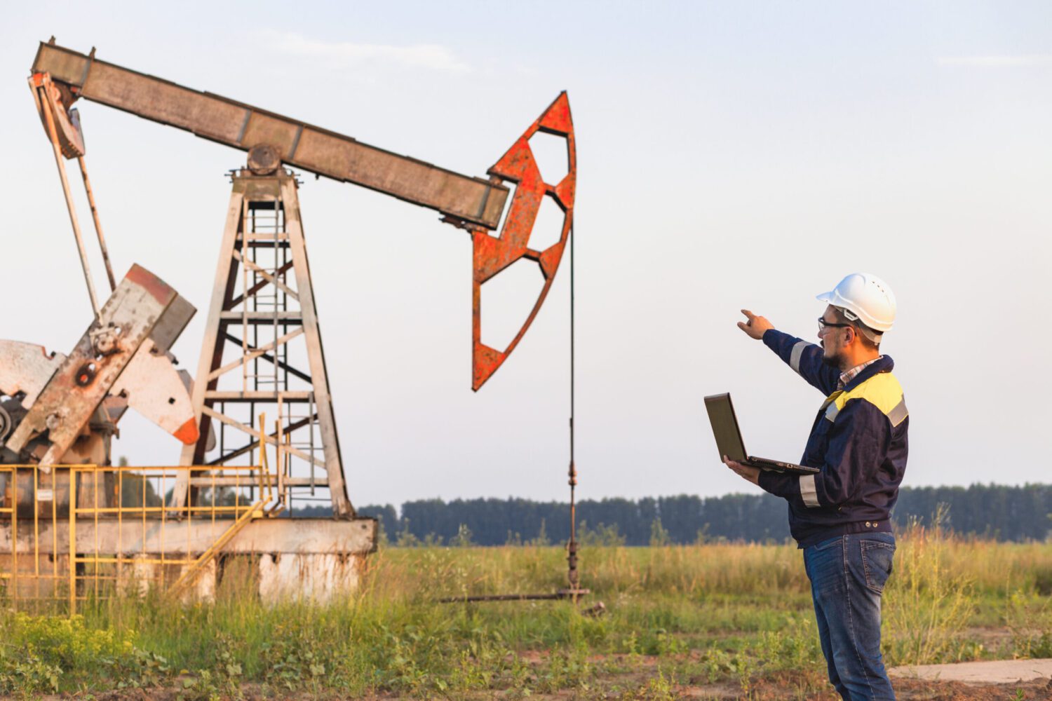
By utilizing various tools, direct surveys are widely used to obtain more accurate results in three dimensions, distances, heights, and angles. Even though remote systems have developed, in-person surveys are still widely preferred to get more precise information.
2. Remote Sensing
Remote sensing techniques are measurements or data acquisition without physical contact with the object or remotely, for example, from aircraft, spacecraft, satellites, and ships. This technique also utilizes a remote sensing system, including sensors, satellites, etc.
Benefits of Regional Topography
There are ten benefits of implementing topography in an area. Here’s an explanation.
1. Planning Development
In making the construction required professional topographic survey services. This service is needed to obtain accurate information and power so that construction processes such as buildings or housing can be on target.
2. Measuring Land Areas
Land area measurement is critical to get legality in the eyes of the law. That way, you can have an official letter to account for.
3. Making Irrigation Channels
Survey implementation topography area is also helpful when making irrigation canals. Irrigation channels are required in every building construction, both houses and offices.
4. Residential Development Planning
Building in residential areas requires a topographical survey, especially in densely populated areas, to ensure the safety and comfort of each party involved.
5. Accuracy of Project Development
The construction of large-scale buildings, such as mega-projects, must also consider the long-term impact on the soil structure and the surrounding environment. Thus, it is necessary to carry out a topographic survey to ensure accurate construction of the project.
6. Planning Tourist Attractions
Tourist attractions are areas that will be frequented by many people in the long term. Thus, the development of tourist attractions also requires regional topographic survey services to ensure that the project area can guarantee the safety and comfort of many people and accommodate the planned tourist attractions.
7. Get the difference in ground height
A comprehensive topography of the area is needed to get accurate information about differences in land height. Land height is essential in knowing where the waterways and so on are. This can be seen from the contours of the land in the countryside.
8. Measuring Road Construction
Roads are an infrastructure that many people around the world need. Starting from connecting villages and cities, transportation routes for goods and materials, to connecting between islands. Appropriate topography of the area can help create solid and sturdy roads.
9. Define Territorial Boundaries
Territorial boundaries are often closely related to law and have their autonomous regions. Thus, topographic survey services are needed to determine the area precisely and accurately. The results of this survey can also be used as a reference for the legal validity of each region.
10. Create a Map
Survey area topography can also help you create maps with scale and environmental conditions that are accurate and comprehensive.
Thus, this map can help many people get to know various locations and areas around Indonesia in a better and more detailed way.
Drone Technology for the Latest Area Topographic Survey
Regional topography activities are increasingly developing along with current technological advances. Drone technology is one of the newest innovations used by topography experts in measuring an area. This is due to using drones, which can provide more accurate and detailed data and information.
Drone technology has finally become a popular tool among topographical surveyors today. Details and details of the area obtained can be seen regarding the contour to the terrain where it is measured.
Government regulations have also made it easier to certify drone flights for commercial use. Effective and efficient use of drones will minimize the time needed to conduct surveys; even data can be obtained within 24 hours.
Today, the topography of many areas has utilized drones, especially for large-scale developments such as corporate buildings and residential complexes. Measuring land using land can start from planning and designing land subdivisions to pre-construction assessments.
Here is an explanation to learn more about the advantages of drone technology in regional topographic surveys.
1. Calculating Return on Investment
Using traditional GPS or total stations often requires a long time for small and extensive measurements.
The use of GPS also involves data processing to become a report. In terms of cost, the use of traditional methods is considered less efficient, while the use of drones uses a more effective and efficient time duration. The resulting data is more accurate. Thus, drone technology saves the budget and labor of surveyors in the field.
2. Generates More Detailed Visual Data
Traditional topographic surveys of areas rarely produce visual data as accurately and of the same quality as those produced by drones.
Visual data produced by drone technology includes orthophotos, contour maps, and digital terrain models of clouds with high-density points. Thus, survey officers can process data more easily and quickly.
3. Image Display can Involve Everyone
Scalable 3D site surveys make it easy for everyone on the job site to access and use drone topography data as desired. The data obtained can be shared with field or office project members.
All data obtained from drones can be used as documentation from the construction process until the project ends. Thus, the team can also measure work progress more efficiently.
Survey area topography can benefit the company, the environment, and the community. To ensure that the topographical survey of the area can run smoothly, you can use the services of experienced topographical survey service providers such as those provided by Sucofindo.
Professional and qualified experts, Sucofindo, conduct various survey services, producing accurate and reliable data and figures. See complete information on the Sucofindo website page.