Regional Topography Type
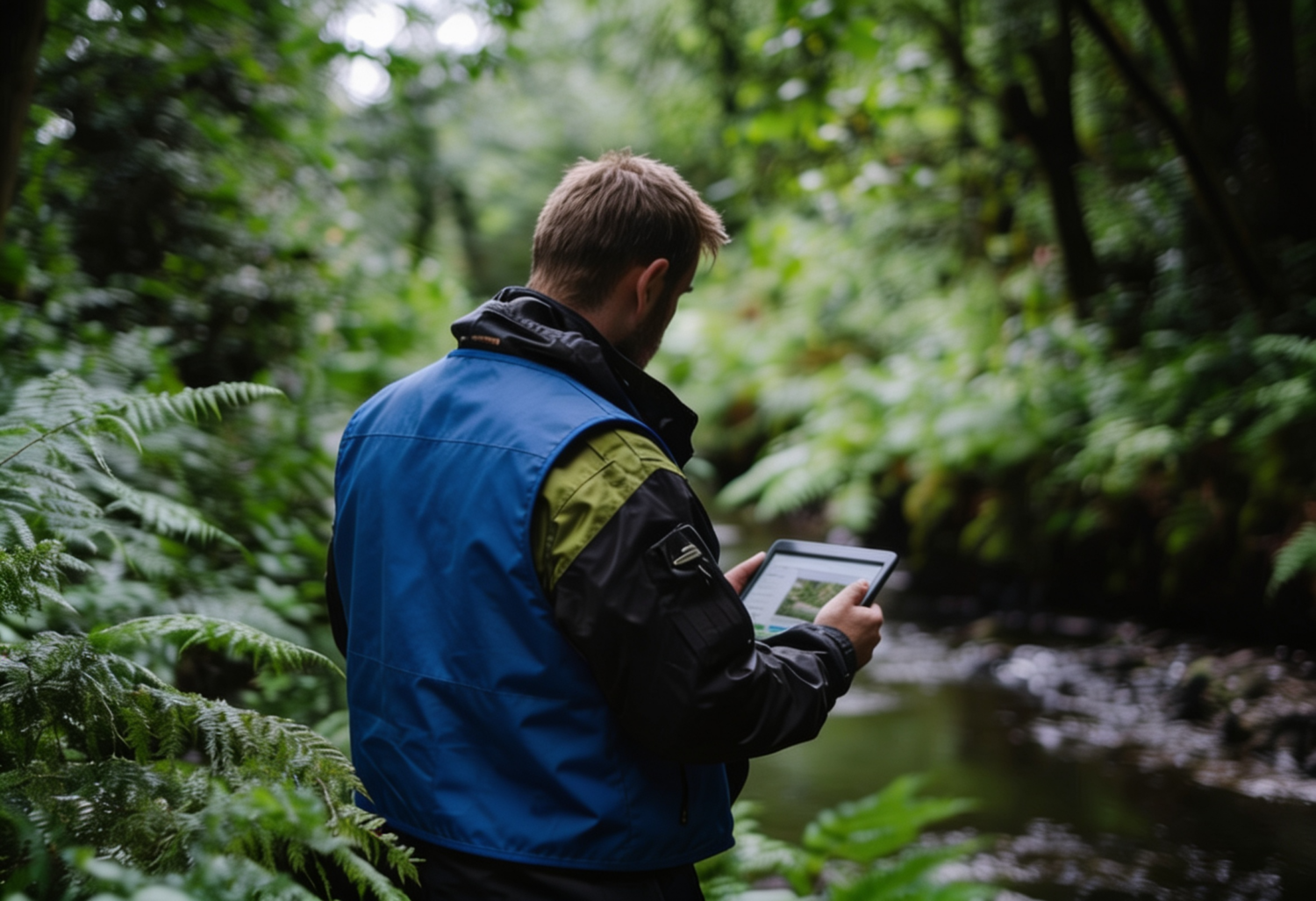
Terrain topography refers to the physical features or relief present in a region, including landforms, elevation, slopes, valleys, and rivers. Terrain topography plays a crucial role in depicting the physical characteristics of an area and influences various aspects such as hydrology, climate, vegetation, and land use. Here are some common types of terrain topography:
- Mountains: Mountainous regions are characterized by significant elevation with steep peaks. Mountains often have steep slopes, valleys, and ravines. Mountainous areas can exhibit different climatic conditions and influence river flow patterns.
- Hills: Hills are elevations lower than mountains. They tend to have gentler slopes and sometimes form a series of small hills. Hills are often found in hilly regions or transitional areas between highlands and lowlands.
- Plateaus: Plateaus are relatively flat regions with small elevation differences. Plateaus can be highland or lowland. Plateaus are often chosen for urban development or agriculture due to easy accessibility and the potential for extensive land use.
- Valleys: Valleys are areas located between two slopes or mountains. Valleys are often adorned with flowing rivers. They can serve as water pathways and fertile settlement areas.
- Coastal Areas: Coastal regions encompass areas directly bordering the ocean or sea. Coastal topography is generally flat to gently sloping towards the sea. Coastal features include beaches, bays, and marshes.
- Caves: Caves are geological formations formed inside mountains or karst cliffs. They can have complex underground corridors and chambers, often featuring intriguing stalactites and stalagmites.
Terrain topography has a significant impact on human activities such as infrastructure development, agriculture, water use, and tourism. A good understanding of terrain topography aids in natural resource planning and management as well as the mitigation of natural disaster risks.
Indicators of Good Terrain Topography
Indicators of good terrain topography may include the following:
- Moderate Slopes: Regions with moderate slopes are generally easier to access, develop, and utilize. Excessively steep slopes can complicate human activities such as agriculture, construction, and transportation.
- Availability of Flat Land: Flat or relatively stable elevation land is easier to utilize for various activities, including settlement, agriculture, industry, and infrastructure. Flat land can also facilitate construction and infrastructure development at lower costs.
- Good Drainage: Regions with good drainage allow smooth water flow, reducing the risk of floods or waterlogging. Good drainage is essential to maintain balanced soil moisture and good soil quality for agriculture.
- Adequate Soil Depth: Soil with sufficient depth allows plant roots to penetrate and thrive. Adequate soil depth is also important for retaining water and nutrients, preventing erosion, and excessive water movement.
- Variety in Interesting Topography: Variation in topography, such as hills, mountains, valleys, or rivers, provides natural beauty and high aesthetic value to a region. Varied topography can also create diverse ecosystems and habitats for flora and fauna.
- Stable and Earthquake-Resistant Conditions: Regions with stable topography and earthquake resistance have lower potential disaster risks. This is crucial for environmental safety, infrastructure protection, and human settlement.
It is important to note that indicators of good terrain topography may vary depending on the needs and purposes of the region’s use. Each area has unique characteristics that need to be analyzed holistically to understand its potential and limitations.
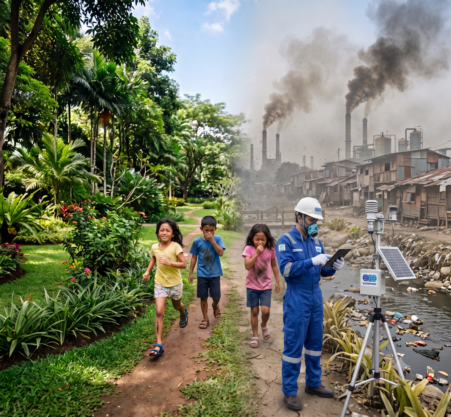
Risks of Poor Terrain Topography
Conversely, poor terrain topography can pose several risks and challenges. Here are some risks that may arise from poor terrain topography:
- Floods: Regions with poor topography, such as low-lying areas or steep slopes, have a high risk of flooding. Rainwater or river water can easily inundate low-lying areas, causing damage to infrastructure, settlements, and the environment. Floods can also result in loss of life, property, and disruptions in daily life.
- Landslides: Poor topography, characterized by steep slopes or unstable soil, increases the risk of landslides. Landslides can threaten human safety and damage buildings, roads, and other infrastructure. This can lead to loss of life, forced population displacement, and significant economic losses.
- Difficulty in Access and Transportation: Poor topography, such as mountains, deep valleys, or steep inclines, can impede access and transportation. Steep and winding roads may be challenging to navigate, especially in adverse weather conditions. This can hinder the mobility of the population, the distribution of goods, and access to essential services like healthcare and education.
- Vulnerability to Natural Disasters: Regions with poor topography are generally more vulnerable to natural disasters such as earthquakes, volcanic eruptions, or hurricanes. Steep slopes or areas along fault lines can increase the risk of earthquake-related damage. Volcanic regions may face hazards like pyroclastic flows and lahars, while low-lying areas are prone to flooding and storm surges during hurricanes.
- Land Use Restrictions: Poor topography may limit the use of land for specific purposes. Steep slopes or unstable soil may be unsuitable for constructing buildings or infrastructure requiring stable ground. This can hinder regional development, economic growth, and efficient land use.
In addressing these risks, it is crucial to engage in proper planning, disaster mitigation, and appropriate land management. This involves risk mapping, wise spatial planning, the use of disaster mitigation techniques, and the development of disaster-resistant infrastructure. Adequate prevention and mitigation efforts can help reduce the negative impacts of poor terrain topography.
For more information on inspection and audit services and the Mineral Mining Sector, you can read our article here. If you and your company need further information regarding our services, please contact and consult with us here.