Topographic survey is the process of collecting data that provides detailed information about the Earth’s surface and its natural features, including elevations, landforms, and other significant objects. The primary goal of a topographic survey is to generate accurate and detailed topographic maps. These maps can be used in various projects, such as construction planning, land mapping, urban development, natural resource management, and other activities that require an in-depth understanding of the topographical characteristics of a region. Key elements in a topographic survey involve measuring elevation mapping funds, contours, surface details, distance and angle measurements, the use of modern technology, and topographic maps.
Topographic surveys play a crucial role in supporting decision-making and sustainable planning in various sectors while helping to understand and appreciate the unique characteristics of a region.
Topographic Survey in Modern Infrastructure Projects
- Accurate Planning Foundation: Before construction begins, topographic surveys provide an accurate foundation for infrastructure project planning. The collected data includes information on elevations, land contours, and other natural structures, helping engineers and planners identify potential obstacles and opportunities in the design planning.
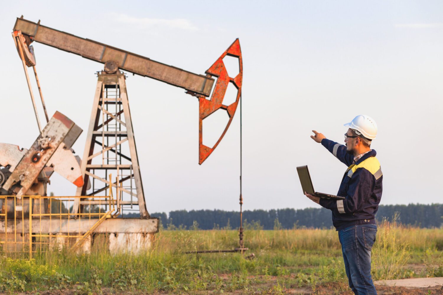
- Height and Contour Measurement: Using tools such as total stations and GPS, topographic surveys can measure heights and form land contours. This information is crucial in understanding the land structure and ensuring that required height changes in the project can be accommodated effectively.
- Efficient Land Mapping: Topographic surveys allow for efficient land mapping, essential for determining property boundaries and land ownership. This helps avoid disputes and provides a strong legal basis for construction projects.
- Drainage Planning and Water Management: By providing data on land elevation and slope, topographic surveys support effective drainage system planning. This is crucial in preventing floods, erosion, and other environmental issues that may arise due to changes in land use.
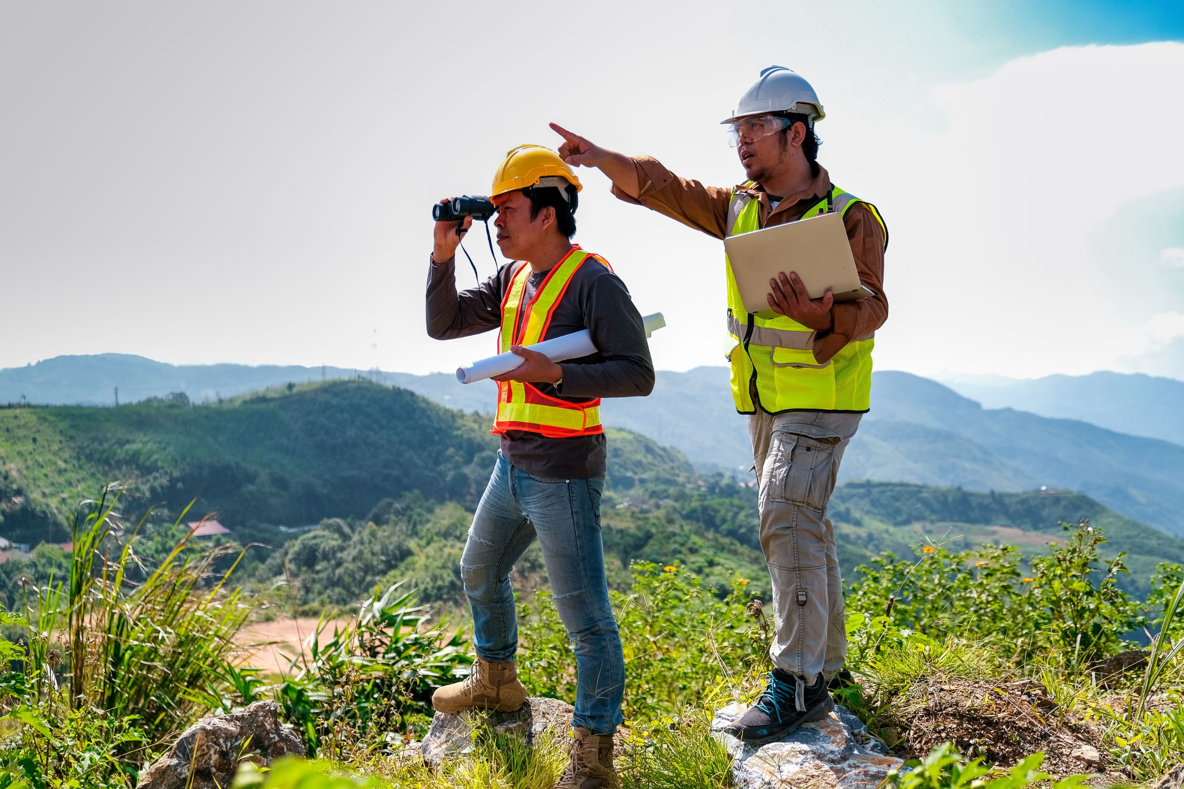
- Accurate Distance and Direction Measurement: Topographic surveys use advanced technology to measure distance and direction with high accuracy. This information is essential in determining the precise location for project elements such as roads, bridges, and buildings.
- Parcel and Zoning Planning: For projects involving land development, topographic surveys assist in parcel and land zoning planning. This is key to ensuring efficient land use and compliance with applicable regulations and laws.
- Measurement at Large and Small Scales: Topographic surveys can be conducted at both large and small scales, allowing mapping of the entire project area with precision down to the necessary small details. This ensures that every project element is planned and executed with high accuracy.
- Change Control and Monitoring: During the construction phase, topographic surveys should play a crucial role in monitoring changes and ensuring that the work aligns with the design. This monitoring is essential to identify shifts or discrepancies early on, minimizing risks and additional costs.
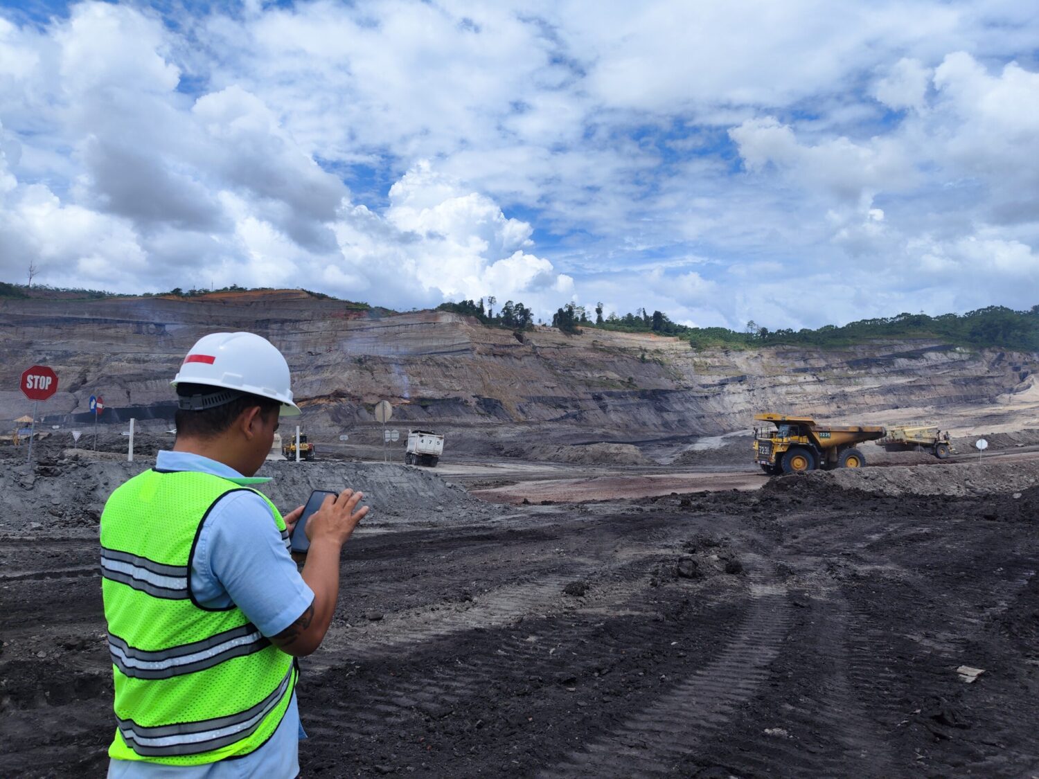
- Drone Technology for Efficient Data Collection: In the modern technological era, drones are increasingly used in topographic surveys. With the ability to collect data from different heights, drones enable rapid and accurate data collection, expediting the project planning and design process.
- Improving Efficiency and Reducing Risks: By providing accurate and up-to-date data, topographic surveys help improve project implementation efficiency and, at the same time, reduce the risk of construction errors and planning inaccuracies.
Topographic surveys are a fundamental element that cannot be overlooked in the development of modern infrastructure projects. From initial mapping to continuous monitoring during implementation, topographic surveys provide a strong foundation for project success. By ensuring accuracy in planning and execution, topographic surveys not only save time and money but also ensure that the infrastructure built meets the highest quality standards and provides long-term benefits to society.
For more information on inspection and audit services and the Coal Mining sector, you can read our articles here. If you and your company need more information about our services, feel free to contact and consult with us here.